Mining map
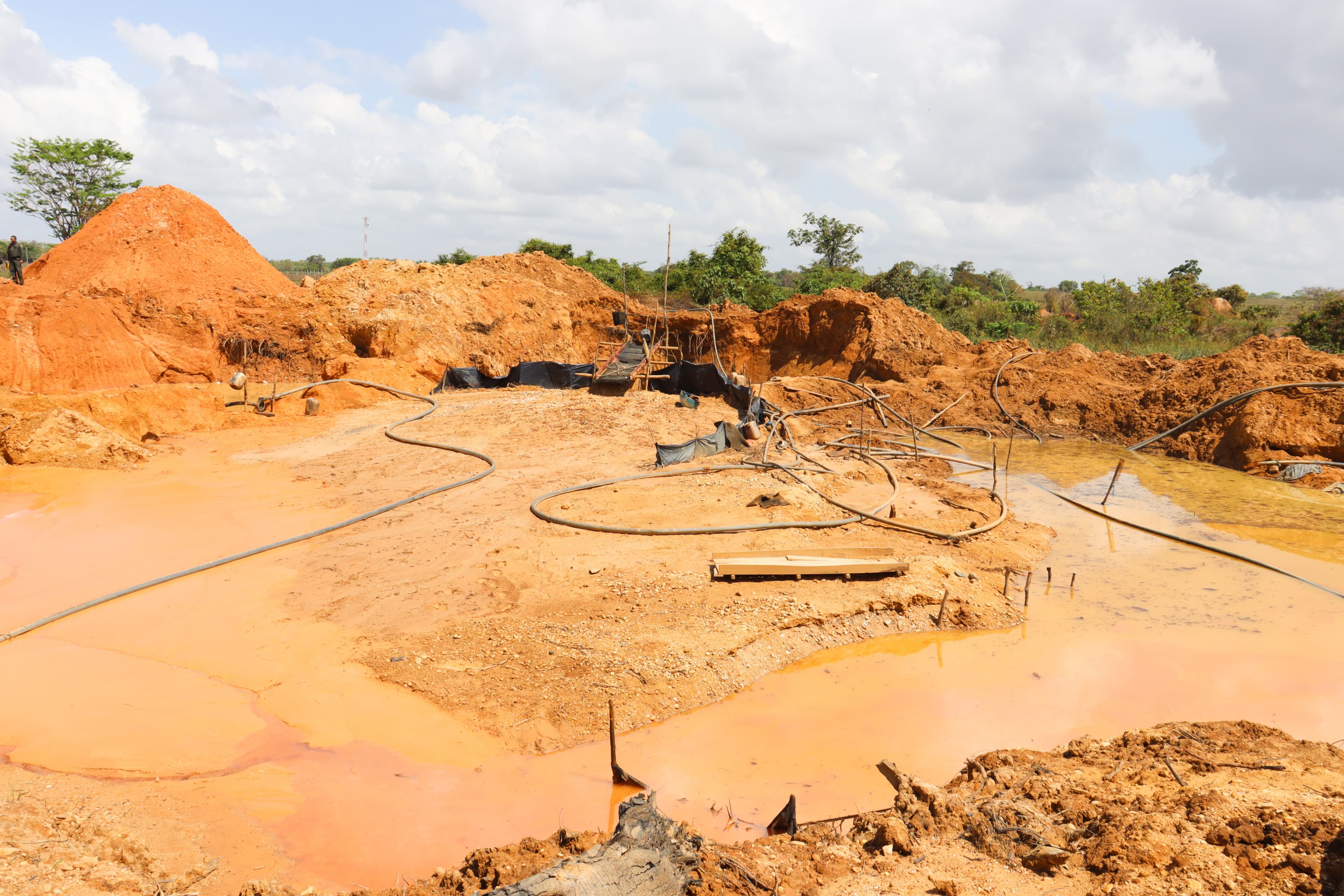
Illegal mining in the Amazon has been growing in recent years, driven by the high price of gold in the international market. In the following map, prepared by CSF with information from the Amazon Socio-Environmental Information Network (RAISG), the Mercury Observatory (WWF) and mapping carried out by CSF of rafts in the Tapajós Basin and Madeira River, it is possible to identify points where the Mining has been developing:
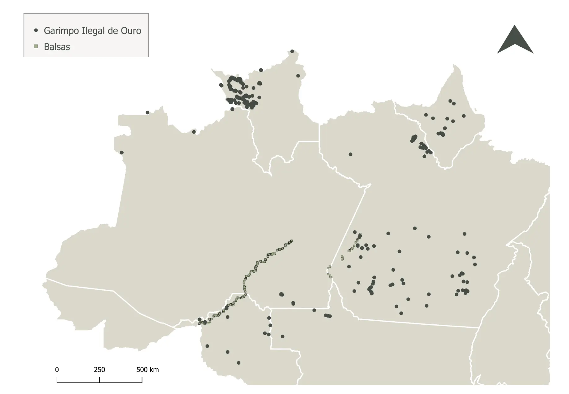
The map shows strong pressure from gold exploration, especially in the Tapajós basin in Pará, where the Munduruku Indigenous Land is located, leading to high levels of mercury contamination in the local populations. Our survey data also shows that Rondônia, and more specifically the Yanomami Indigenous Land, has also been invaded by illegal miners, causing territorial conflicts, in addition to the problems directly generated by the illegal activity, such as mercury contamination and loss of native vegetation. Gold mining in these two regions is characterized, for the most part, by exploring areas close to rivers, which is usually called alluvial mining, however, there is also the presence of mining by rafts.